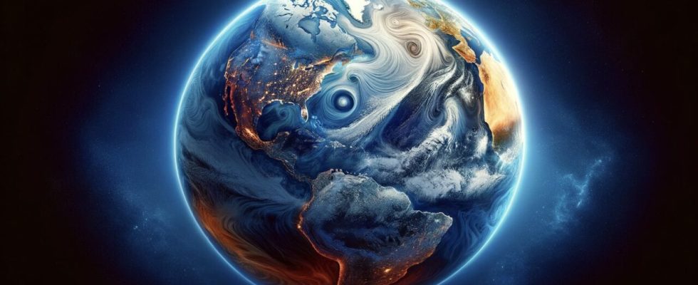
While watching the Earth from space with a satellite, NASA not only looks at the stars, but also works to understand global issues such as weather and climate change. In its latest research, NASA examined the effects of the El Niño event from space via satellite, yielding important findings to better understand the effects of this event around the world. Here are the details…
NASA will detect the effects of the El Nino event from space with satellite
First of all, let’s talk about the effect of the El Nino phenomenon. In the years when El Nino is effective, the warm waters in the Pacific Ocean shift eastward, causing global temperatures to increase. Some regions drought And forest fires While some regions are under the influence of flood And with storms has to struggle.
The basic method by which NASA observes El Nino is surface air temperature And sea temperature collecting data from both land-based and ocean-going stations. However, the exciting part is that satellite data taken from space offers a different perspective.
In this way, the ocean surface salinity levels and they can observe its change over time. NASA’s Jet Propulsion Laboratory (JPL) His team examined the salinity levels of the global ocean surface using data collected over the past 10 years (2011 to 2022).
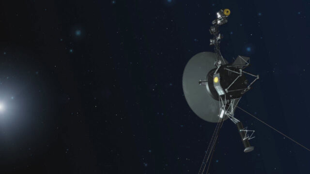
NASA reestablished communication with Voyager 1!
According to the latest information, NASA managed to re-establish communication with Voyager 1. Here are the most important details…
This work, Aquarius It was carried out with data taken from satellite missions such as. Aquarius is a satellite used to determine salinity levels by measuring microwave radiation at the ocean surface. Thanks to the technology of this satellite, access to higher resolution data is now possible.
This satellite data showed what effect El Nino had on the salinity of the ocean surface. The study also found that salinity levels at the ocean surface vary throughout the year, and these effects are more pronounced in coastal areas.
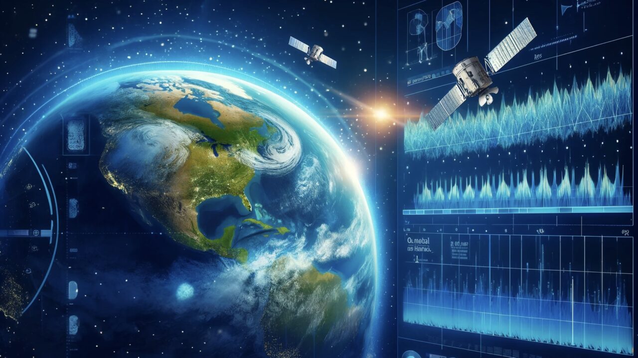
For example, the salinity levels of coastal waters peak in March and fall to their lowest level in September. This situation is different from open ocean waters and is strongly tied to the El Niño system. This approach can be used to predict not only the direct effects of El Niño, but also possible changes in the water cycle.
With this research, NASA shows us how it uses technology to understand environmental changes and global events by monitoring the Earth from space with satellites. As technology advances, we expect such studies to become even more detailed and precise in the future. Do you think these studies by NASA will be useful in preventing the effects of climate change? You can share your opinions in the comments section below.