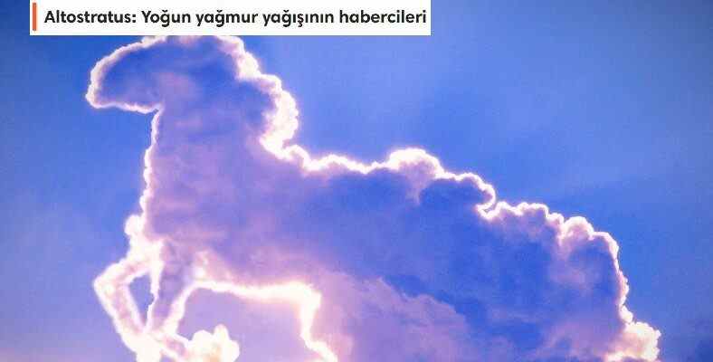
When we all raise our heads and look at the sky, we see different cloud shapes, and even liken them to different shapes. Well, according to the ‘Cloud atlas’ data published by meteorology, how do these clouds, which have more than 100 types, form, how do they take shape, what are their features?
We can push the limits of our imagination to the fullest by looking up at the stars at night; The same goes for the clouds that surround our world in daylight and are an integral part of our atmosphere. Clouds, which are basically made up of the same materials, are actually water droplets or ice crystals floating in the sky. looks different depending on the weather. These differences can help us predict weather changes.
Well, it helps us to make weather forecasts, which is one of the natural beauties of the world, where we play games by using our imagination when necessary, when we look up when we are bored, which relieves us or makes us more gloomy. clouds and How are cloud shapes formed?, this what are the properties of clouds? Let’s see together.
How are clouds formed?
Clouds are basically masses formed by the condensation of water droplets or tiny ice crystals in the air. Since both landforms and weather events play a role in the formation of clouds, it is also possible to obtain information about these factors by observing cloud formations. During the formation of clouds, water droplets rising from the earth with heat waves play a role. These droplets, which gradually cool down due to the natural cooling process that occurs as the altitude (altitude) increases, the weather events at high altitudes, low pressure regions or colliding with landforms such as mountains, reach a temperature and pressure level below the dew point of the air. by condensation they become visible. During this condensation, dust particles, pollen and similar particles in the air can act as nuclei and play a role in accelerating the cloud formation process by enabling water drops to gather around them.
The types of clouds we see in the sky and their features:
- high clouds:
- cirrus
- cirrocumulus
- cirrostratus
- Mid-height clouds:
- altostratus
- altocumulus
- nimbostratus
- Low altitude clouds:
- cumulus
- Stratus
- cumulonimbus
- contrails
- mammoth
- orographic
- Lenticular
high clouds:
Cloud types called high clouds (over 600 meters), they occur above about 20,000 feet and are named with the prefix “cirro”. They occur at high altitudes and do not cast shadows. Clouds at this level are usually composed of ice crystals and appear thin, streaked, and white. Cirrus, Cirrocumulus and Cirrostratus are divided into three main groups.
Cirrus: Delicate, furry-looking clouds
Cirrus clouds, which means ponytail, tuft of hair in Latin. delicate, hairy-looking grains of ice in the sky are clouds. Thin shapes bend ice crystals and spread them out in strips with wind currents occurs. These clouds, which we can usually see in calm weather, are thin, long and linear.
Cirrocumulus: They appear in clusters
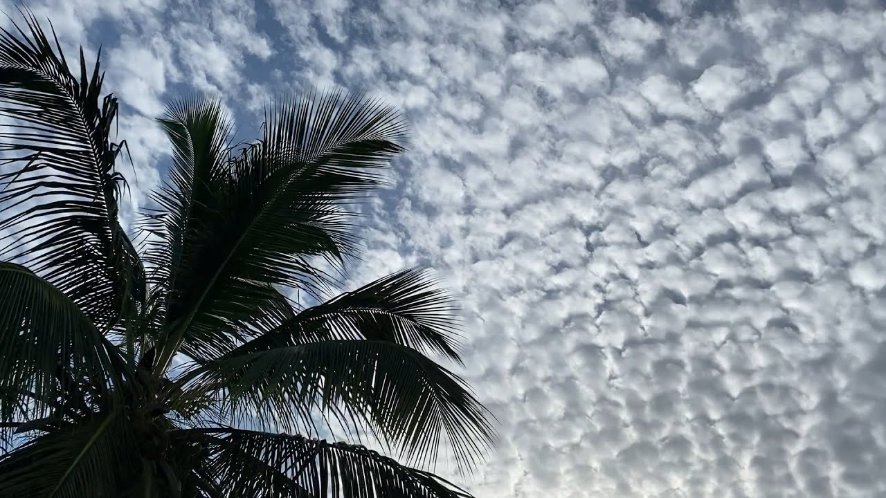
Cirrocumulus clouds, which means clustered, gathered in Latin, are similar to Cirrus clouds. consists of ice particles. Due to the unicy water particles in them, they sometimes appear as fragmented, layer-like appearances, and sometimes as clumps filled with waves or small grains.
Cirrostratus: Covers the whole sky like a veil
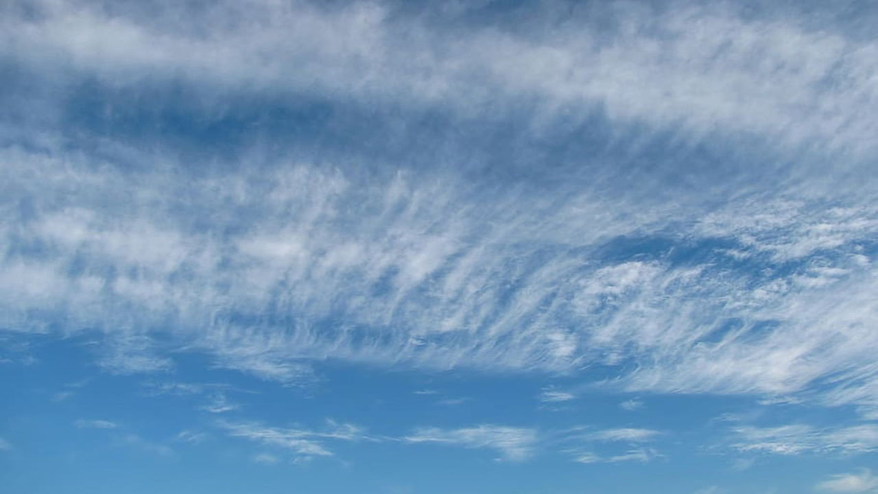
Cirrostratus clouds, which means spread out, finely sprinkled in Latin, consisting of a large amount of water droplets They are thin, white clouds that cover the entire sky like a veil. Most seen in winter This type of cloud is also known as rain or snow herald due to the high amount of moisture it contains. They can also cause a halo around the sun or moon.
Mid-height clouds:
Mid-height clouds (2000-6000 meters), clouds at the middle level of the troposphere, prefixed with “Alto”, appear between 6,500 and 20,000 feet. These clouds, which are formed according to the altitude, the time of the year, and the vertical temperature structure of the troposphere, are composed of liquid water droplets, ice crystals or droplets at the level below the freezing point. medium clouds, Atostratus, Altocumulus, Nimbostratus is divided into three.
Altostratus: Heralds of heavy rain
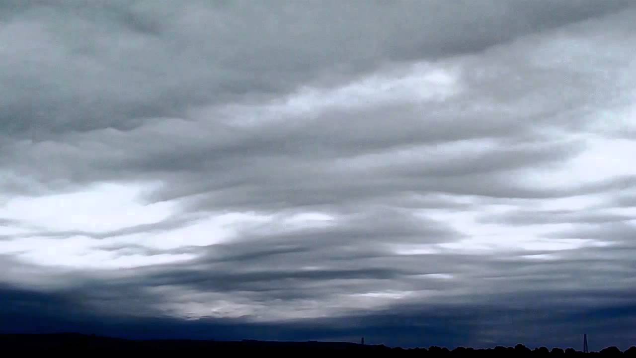
Composed of ice crystals and water droplets in gray or blue-gray colors are clouds; these clouds usually cover the entire sky. The water droplets accumulated in it and its closed view it is a harbinger of heavy rains.
Altocumulus: Form in spring and summer
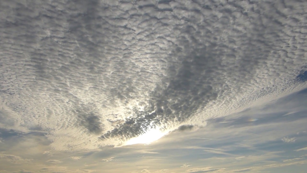
They are many small, hairy, and wavy-looking clouds consisting of a patchy gray layer. They are composed of particles of liquid water, but they usually do not have a rain-producing structure; Clouds that form in spring and summer.
Nimbostratus: harbinger of rain or snowfall
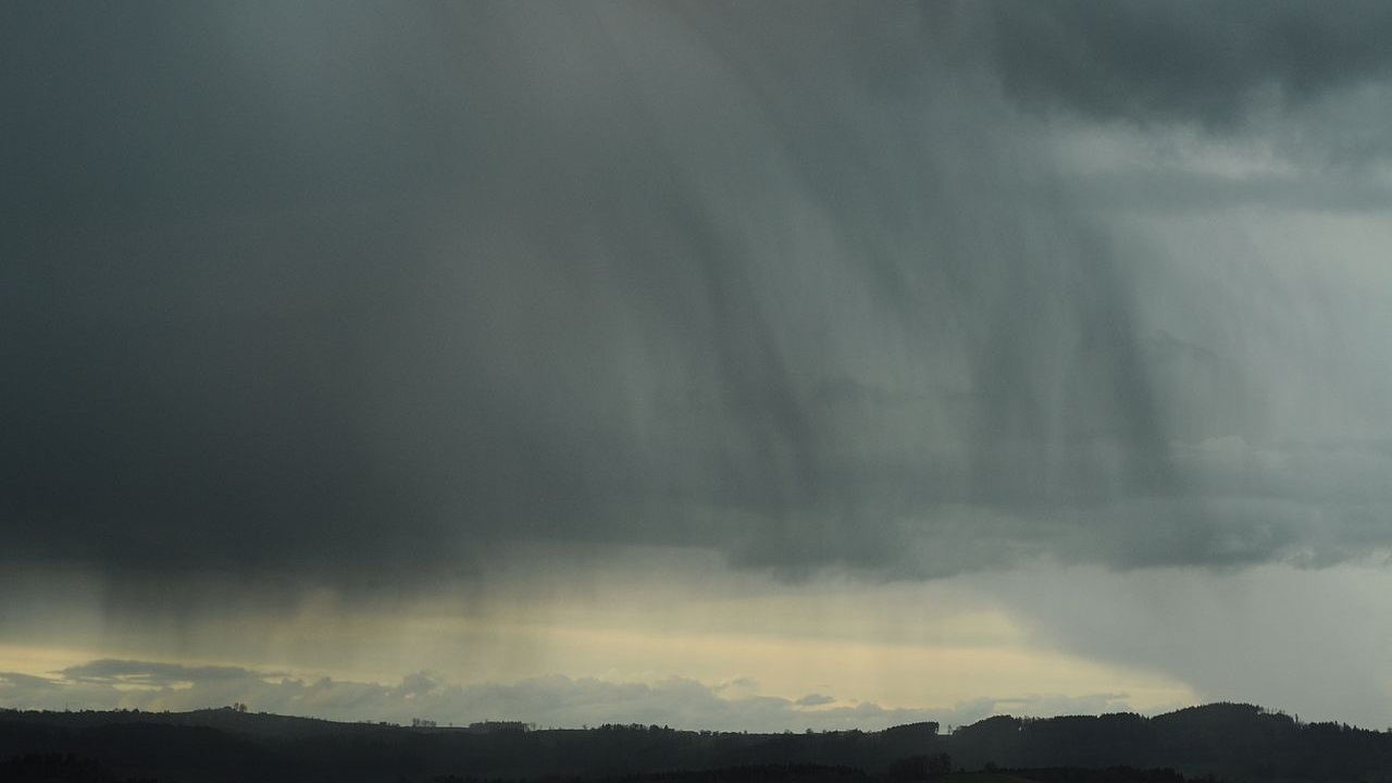
It is gray in color that turns into rain or snow and prevents sunlight due to its thickness. are dark clouds.
Low altitude clouds:
Low-elevation clouds (below 2,000 meters) do not have a prefix that low-level clouds have, although their name is derived from the word “strato.” below 6,500 feet These clouds are composed of liquid water droplets or supercooled droplets. Seen in stormy weather in winter are clouds. Low-level clouds occur in two forms, horizontal layered and vertical layered. is a harbinger of rainy weather.
Cumulus: The kind that’s perfect for taking pictures
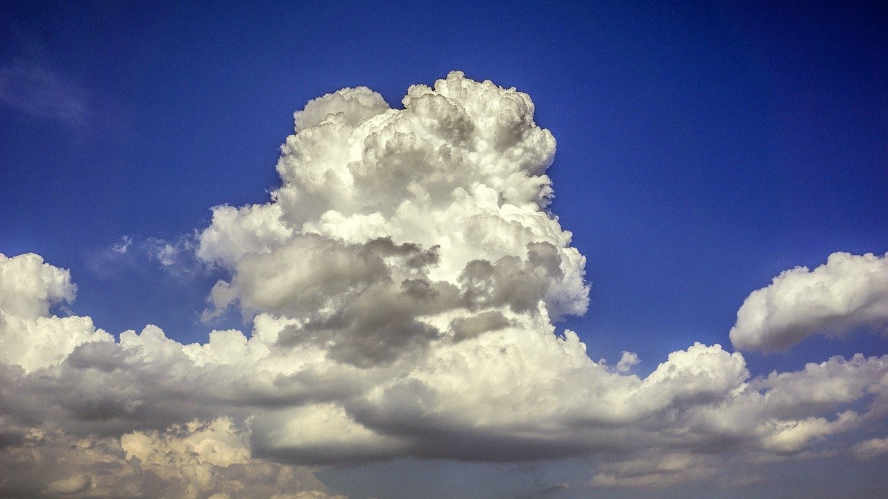
In the sky fluffy, white cotton balls It looks like a cloud. It creates a beautiful sight at sunset, and their varying size and shape can make us have fun by observing them and making them look like things using our imagination. But when their tops are rounded, turning gray may indicate rain.
Stratus: In high areas they look like fog
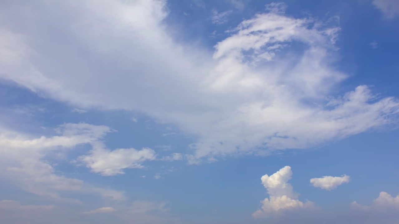
It is a type of cloud that usually looks like thin, white layers that cover the entire sky. because they are so thin they rarely produce rain or snow. Sometimes they appear like fog in mountainous areas or hills.
Cumulonimbus: aka ‘Storm cloud’
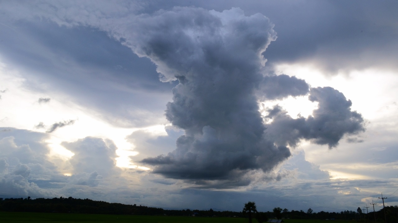
Also known as a ‘storm cloud’, this type of cloud is a type of cloud that looks like a giant tower. The upper part is usually straight, linear and fibrous. This type of cloud, which is usually very dark, is located low and irregularly. It is a type of cloud that produces hail and tornadoes..
Contrails: Clouds created by planes

flying at high feet clouds caused by jet planes. They are formed by water droplets condensing from the water vapor in the exhaust of jet engines. Although not a natural occurrence, they fall into the cloud category and layers of moisture in the sky It can help us know about
Mammatus: They appear as sacs
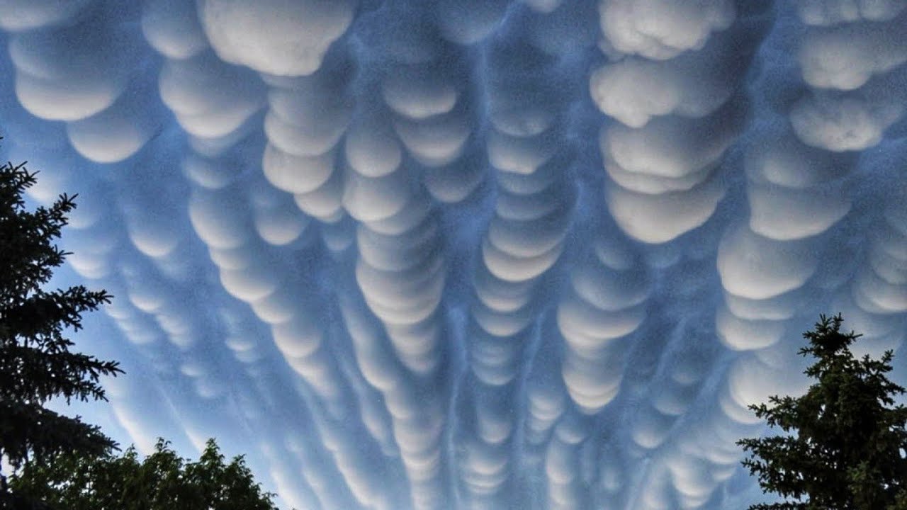
These clouds are actually Altocumulus, Cirrus, Cumulonimbus-like cloud types. Its appearance as sacs occurs when the cold air inside the cloud moves downward. It could be a harbinger of heavy rains..
Orographic: Clouds where two air masses meet
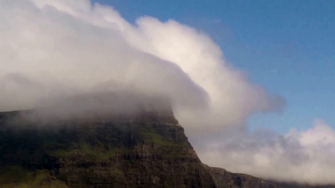
These clouds take their shape from mountains or hills that force air to move over or around them. This type of cloud, which can also occur due to sea breezes, usually appears as the lines where two air masses meet. May be a harbinger of afternoon thunderstorms and showers.
Lenticular: They look like a flying saucer
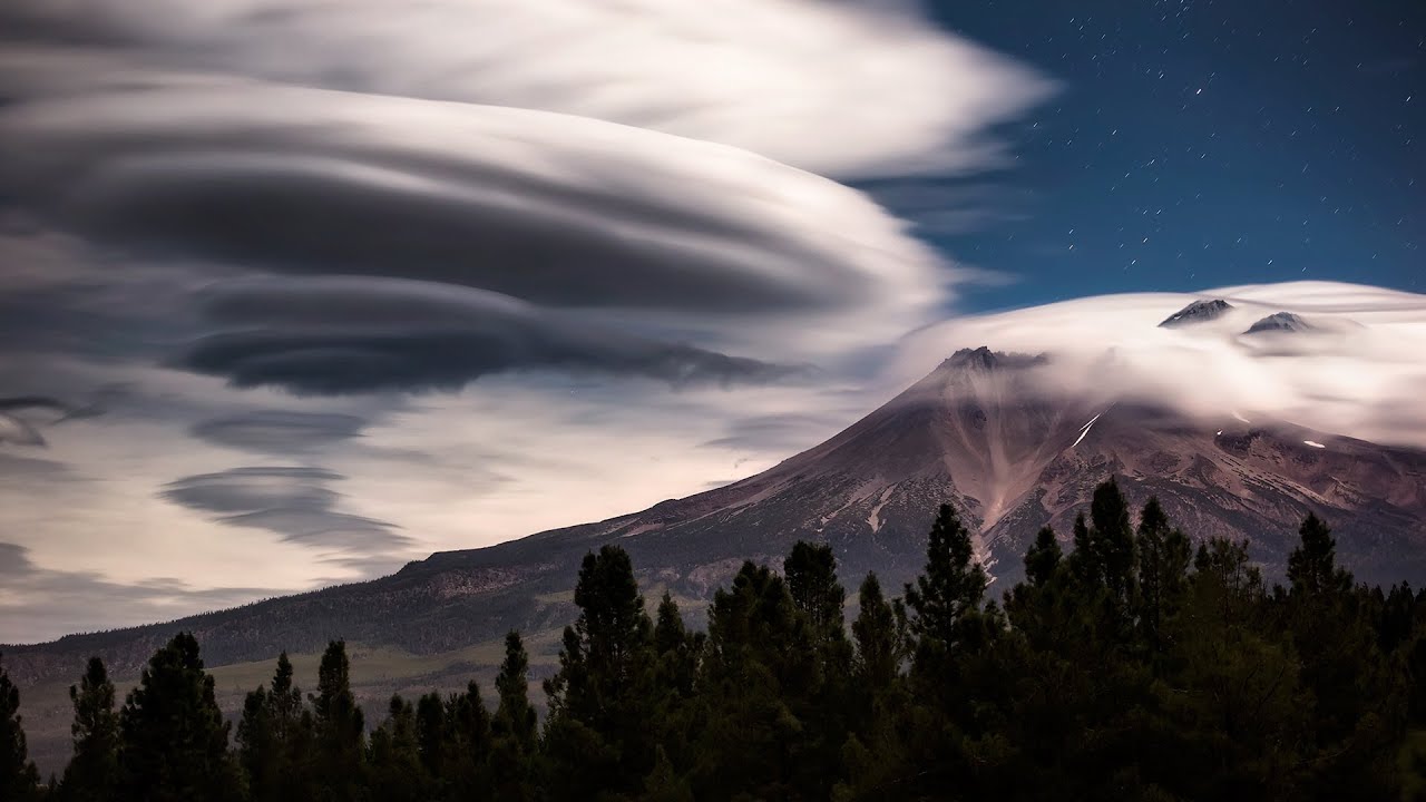
These clouds, referred to as lenticular clouds, are shaped like lenses, almonds, or flying saucers. It can take its shape from rough terrain or simply from the way water droplets rise on flat terrain. Does not allow us to receive information about weather events.
If we put their types and shapes aside and take a look, a cloud that doesn’t seem very big to us is actually about 1 kilometer in diameter and It has a volume of 4 billion cubic meters, It contains between 1 and 5 million kilograms of water.. The water droplets that make up the clouds are so small that they reflect the light directly and we see the white clouds like cotton. However, the more the water droplets coalesce and thicken, the darker and less reflective clouds form.
RELATED NEWS
