
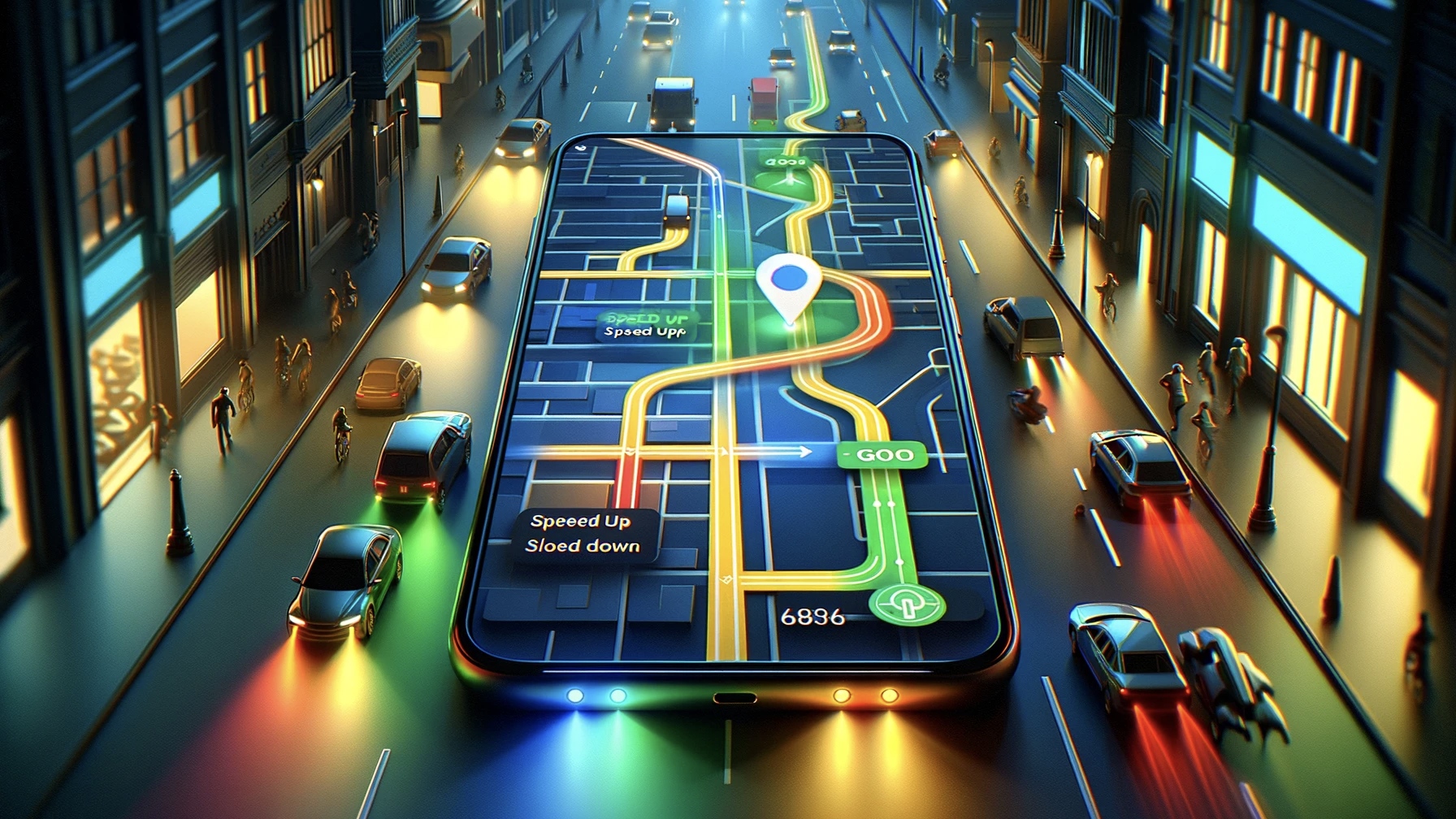
The new feature of Google Maps explains that it is working on a new precaution plan to reduce traffic congestion. According to the new patent, Google Maps can be used for vehicles entering heavy traffic. an optimal speed will prevent such congestion by recommending
Google Maps announces new feature: Traffic congestion will be history
Traffic jams occur as a result of chain slowdowns that occur as a result of a vehicle reducing its speed, without a clear reason. This speed recommendation is calculated based on the speed of vehicles in front and safe distances. It is stated that if all drivers comply with this recommended speed, heavy traffic congestion can be avoided.
To prevent drivers from looking at the recommended speed for too long, Google Maps a speedometer coded with different colors he thinks. Green you can speed up color, yellow color you need to slow down and blue The color indicates that you are at the correct speed. The success of this idea all drivers It will depend on your compliance with the recommended speed.

How to blur house on Google Maps? Here is the method
It is possible to create a house blurring request with Google Maps. But how to do home blurring?
If a driver does not follow this recommendation or if he follows too close, congestion may still occur. However, this feature may become more functional, especially with the development of automatic driving technologies. In a future where manual and automatic vehicles travel together, this feature allows human drivers to operate without disrupting traffic flow. traveling at appropriate speed will help you with this.
This new feature of Google Maps to prevent traffic jams will be used as follows:
- Speed recommendation: Google Maps offers a speed recommendation to vehicles traveling on a heavily trafficked road to optimize traffic flow. This speed is calculated based on the speed of vehicles in front and safe distances.
- Color coded indicator: To prevent drivers from constantly looking at the screen, speed recommendations are shown in different colours:
- Green: Drivers can accelerate.
- Yellow: Indicates that drivers should slow down.
- Blue: Indicates that drivers are at the correct speed.
3. Adapting to traffic flow: When all drivers comply with this recommended speed, chain slowdowns are prevented and phantom traffic jams are prevented.
This feature can be activated through the Google Maps application and dynamically adjusted according to the traffic density along drivers’ routes. With the development of automated driving technologies, this feature may become even more functional, as automated vehicles may tend to adhere to these speed recommendations more consistently. This can improve traffic flow while also increasing driver safety.
How do you think this feature will affect traffic management and driver experience? Will this new feature from Google really improve traffic flow? We welcome your thoughts to discuss these questions and more.