The eyes of the world in recent days Israel with Palestine‘also. The sad events between the two countries caused hundreds of casualties. Finally, both technology giants took action for these events that will take their place in the history books. Here are the details…
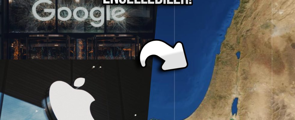
Google and Apple disabled live traffic in map applications for Israel – Palestine!
Unfortunately, thousands of people have died so far due to the events between Israel and Palestine. While the countries that shape world politics have already declared their side, technology giants are taking various steps by trying to remain neutral. The last example of this Google And Apple happened.
Google and Apple in their map applications Israel And Gaza Strip Disabled the live traffic update feature for For those who don’t know, this feature allows users to find out whether there is traffic density in the selected area.

Ayyıldız Team hacked the Israeli Ministry of Defense!
Ayyıldız Team, known for its operations in the military and political fields, announced that it had obtained important information about Israel.
Google and Apple made this change to prevent the two sides from using the map to identify their military units. It is said that the main reason for this step was a request made by the Israel Defense Forces.
According to the statement made by Google Maps spokesperson Carlone Bourdeau, users in the region will be able to see the estimated arrival time according to traffic conditions. However, this will not be possible in places with high traffic density. The relevant statement made by Bourdeau is as follows:
“As we have done before in conflict situations and in response to the evolving situation in the region, we have temporarily disabled the ability to view live traffic conditions and congestion information, taking into account the safety of local communities. “Anyone traveling to a particular location will continue to receive routes and ETAs that take into account current traffic conditions.”
The use of live traffic density data for military purposes has happened before. Because in the war between Russia and Ukraine, which started in early 2022, it was seen on Google Maps that there was traffic congestion during the movements of the troops.
So what do you think about this issue? You can share your opinions with us in the Comments section below.