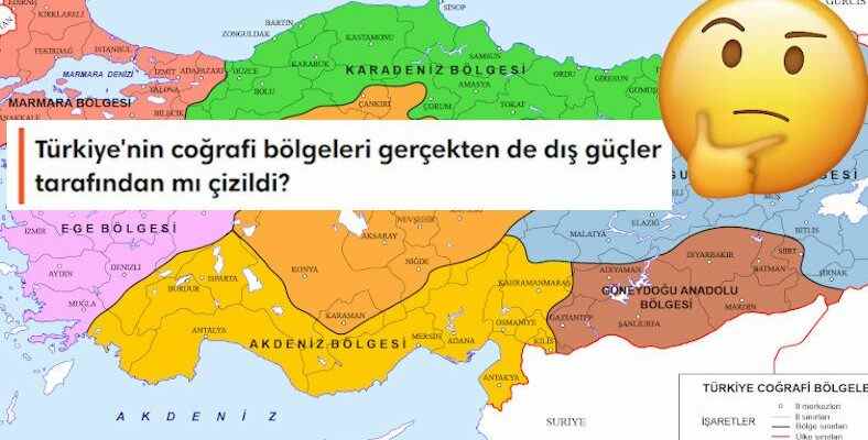
Conspiracy theorists, with all their expertise, are on the job with all their expertise regarding Turkey’s separation into geographical regions, as in every other issue. Indeed, when and how were the geographical regions of our country determined?
Especially some social media users, Turkey’s 7 geographical regions “a foreign board” He even states that the borders of this region will be the borders of the “so-called” federated states or provincial governments to be established in the future, and that these borders are very similar to the borders of the so-called Treaty of Sevres.
We are with you today how the geographical boundaries of our country are determined We will also touch on why these conspiracy theories are unstable.
The borders of the geographical regions of our country were determined as a result of a “national” congress held in 1941.
After the proclamation of the Republic, the first geographical division in our country was made in 1926 by students. help with geography in textbooks It was prepared by Mehmet Besim Darkot and Cemalettin Arif for the purpose of
Although this work of Darkot and Arif was prepared with various dynamics, a more detailed and scientific study was needed. Still, it was benefited from this study for about 15 years until 1941.
Hasan Âli Yücel, the Minister of National Education of the period, who is known as a “legend” by many, also dealt with this issue.
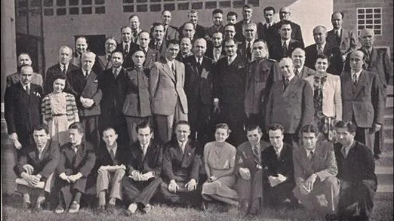
During the Ministry of National Education, where he worked for seven and a half years, “100 years of work fitHasan Âli Yücel, who is referred to as “The Founder of Village Institutes, has a large share in the Turkish translation of world classics, the father of Ankara University and also the father of Can Yücel, rolled up his sleeves in 1941 to find a solution for geographical regions as well.
A total of 20 experts, 2 of whom were foreign, were invited, chaired by Yücel. First Turkish Geography CongressIt was held from 6 to 21 June 1941. Although two foreign experts were invited to the congress, after one of the two foreigners made an excuse, the congress convened as 19 people, one of whom was foreign.
As a result of the congress, 7 main geographical regions and 21 geographical regions were decided in the light of scientific criteria.
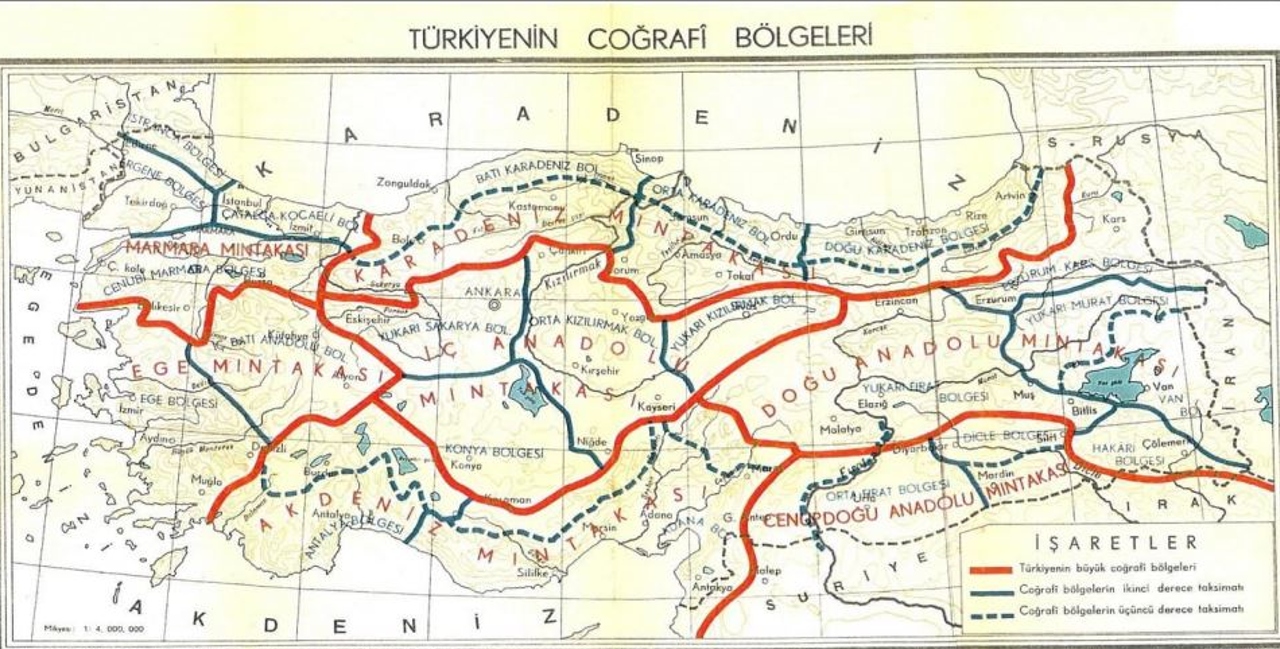
The congress convened to divide Turkey into geographical regions; natural, human, climate, geographical location, population, settlement, economic factors, landforms, vegetation, agriculture, animal husbandry, industry, mining, trade, tourism and many more. scientific and concrete factors Considering 7 main geographic regions and determined the boundaries of 21 geographical regions.
Names of the Black Sea, Marmara, Aegean and Mediterranean regions (zones) announced at the congress that day the neighboring seas taking their names; The names of the Central Anatolia, Eastern Anatolia and Southeastern Anatolia (southern east) regions were named with their locations.
Although we do not use it when listening to the weather or in daily life, we have 21 regions apart from 7 main regions.
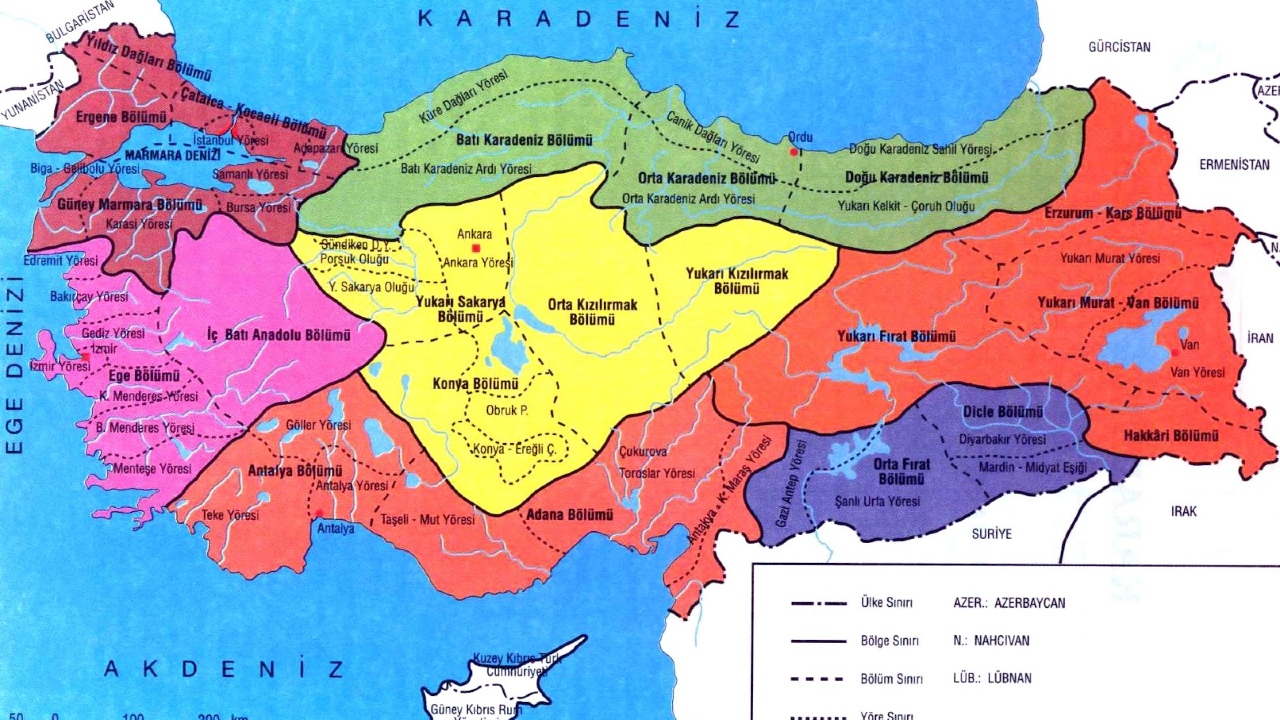
Although the conclusion reached by the First Turkish Geography Congress was more or less similar to the map prepared by Darkot and Arif in 1926, the result was now handled scientifically. In addition, due to the differences in criteria within the main geographical regions, 21 regions more drawn. You can see these regions in detail on the map above.
If you ever participate in knowledge contests…
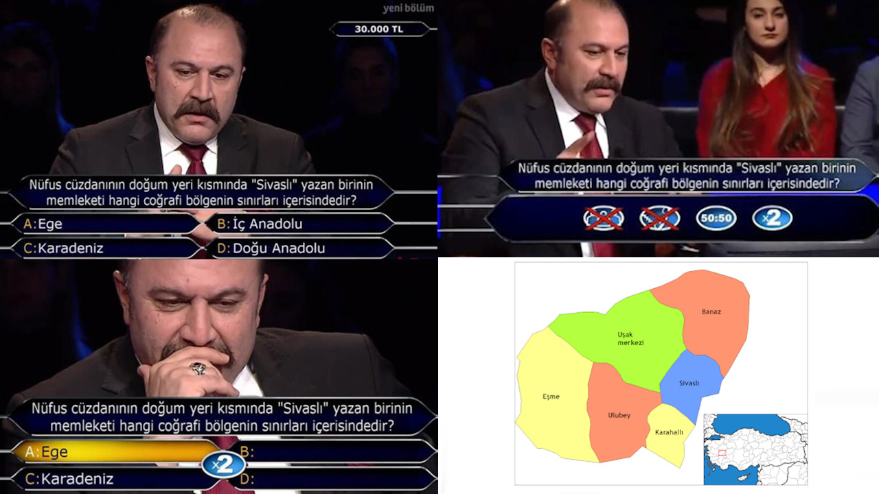
From time to time, in today’s knowledge competitions pertaining to geographic regions questions may come. Apart from knowing which province is in which region; As an area, we would like to emphasize that our largest region is the Eastern Anatolia Region (21%), our smallest region is the Southeastern Anatolia Region (7.5%), and our most populated region is the Marmara Region.
what about you about our geographic regions what do you think?
Resources: 1 / 2 / 3 / 4 / 5 /